Explore the New Features in Vectorworks Landmark 2025
Vectorworks Landmark 2025 introduces a number of powerful tools that are sure to enhance workflows for landscape architecture and site design.
From the innovative Curbs, Edging, and Borders tool to the enhanced Hardscape and Landscape Area tools, this release emphasizes efficiency and sustainability. Additionally, the Survey Point tool simplifies the integration of geographic base points, streamlining project setup.
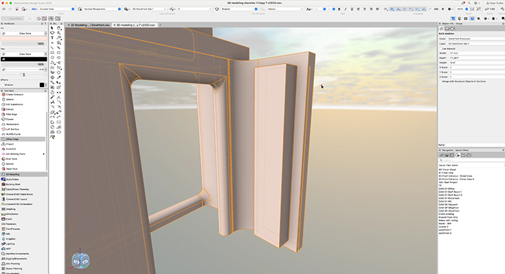
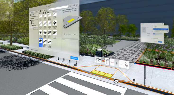
Curbs, Edging, and Borders Tool
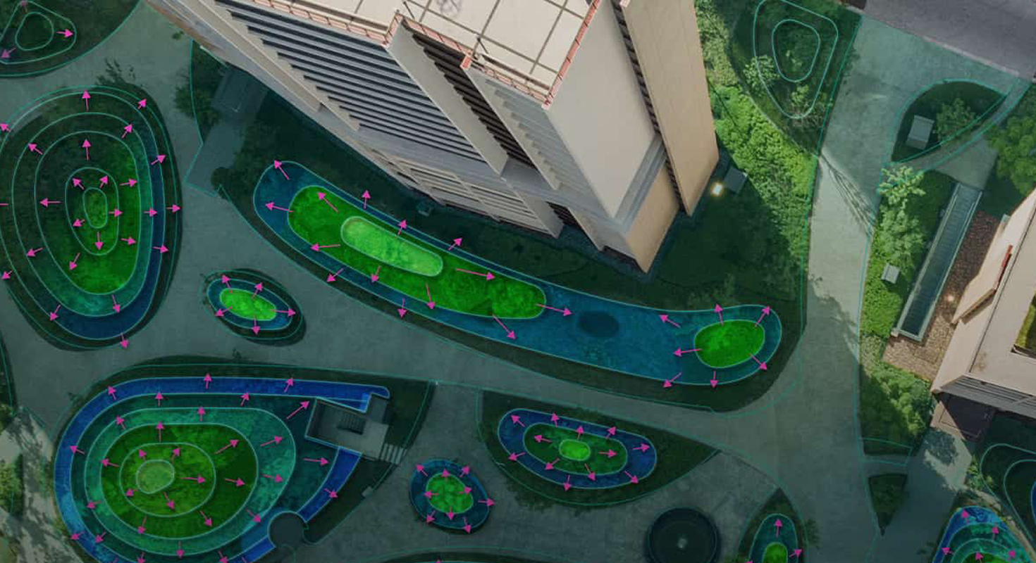
The Curbs, Edging, and Borders tool brings unmatched flexibility, enabling the creation of freestanding elements or seamless integration with landscape areas and hardscapes.
This tool simplifies the process of adding border geometry. You can select individual or multiple edges within landscape areas or hardscapes and choose between two modes:
Associated: Borders dynamically adjust to changes in the main geometry, eliminating manual updates.
Freestanding: Borders maintain independence from the primary design elements.
One standout feature is its terrain adaptability. In Gravity mode, curbs automatically conform to the existing terrain, ensuring accuracy while saving time. You can fine-tune each vertex’s elevation or adjust slopes between points to meet specific design requirements.
The tool includes built-in options such as profiles, pavers, curb insertions, and corner treatments. Additionally, you can customize it further by importing unique profiles, paving units, or even designing bespoke patterns.
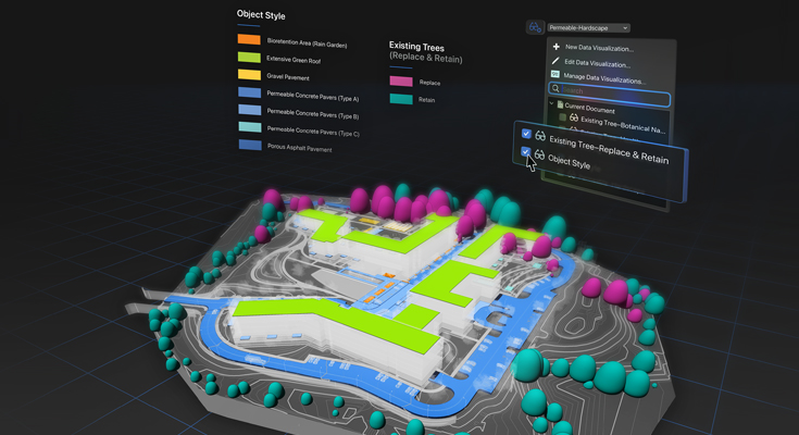
Planar Pad, Hardscape, and Landscape Area Tools
Enhancements to the Planar Pad Site Modifiers, Hardscape, and Landscape Area tools bolster connectivity and usability across Vectorworks 2025’s site design suite. Updates also centralize graphics control for Hardscapes and Landscape Areas within the Attributes Pane, streamlining workflows.
Efficient Grading with Planar Pad Site Modifiers
Planar Pad Site Modifiers introduce an intuitive approach to grading. Adjust start and end elevations or specify precise slopes to refine terrain design effortlessly. Automated annotations label slopes directly, reducing the need for time-consuming manual spot elevations.
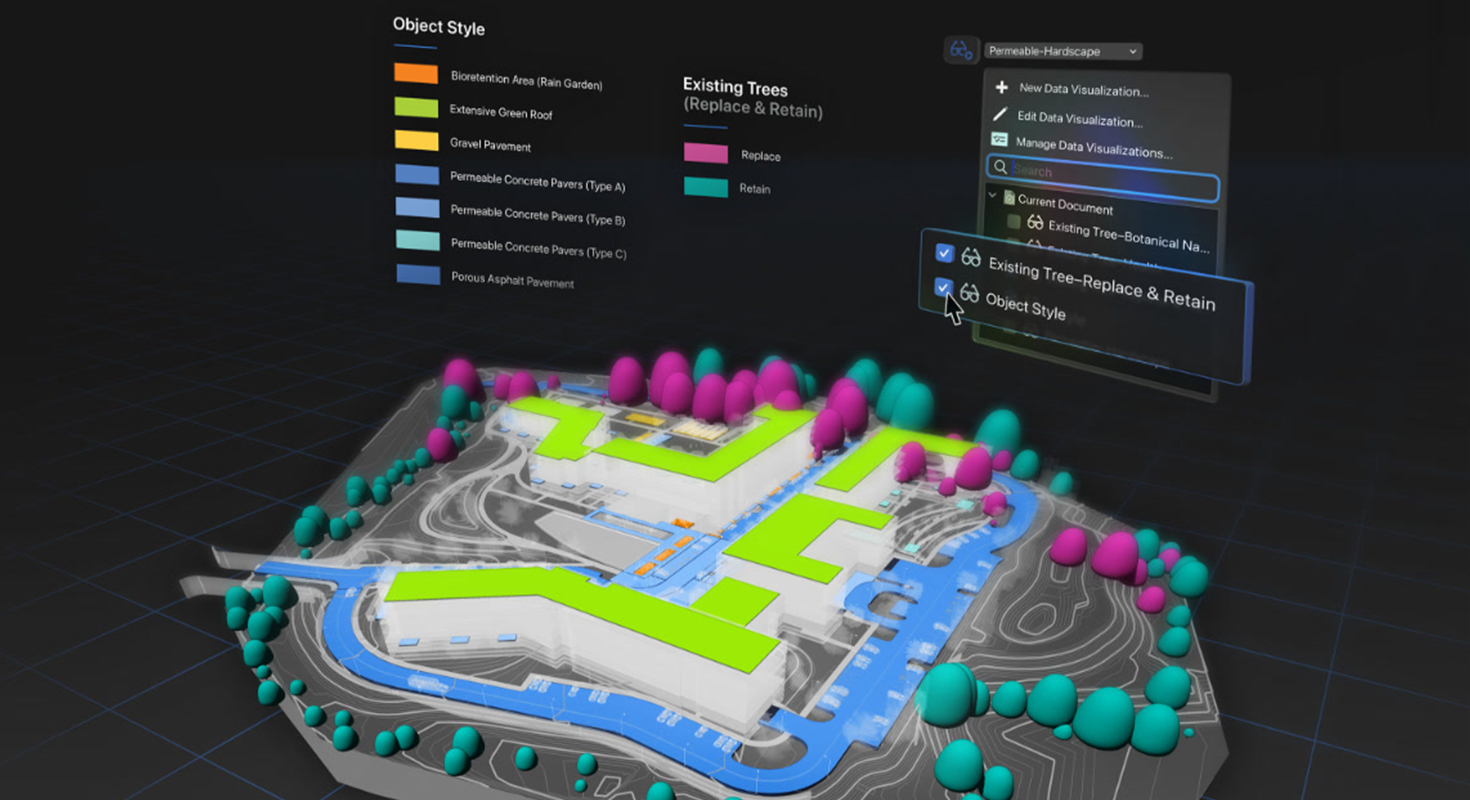
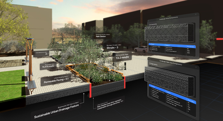
Sustainability Data Integration
New data fields for Hardscapes and Landscape Areas put sustainability at the core of your projects. Predefined frameworks enable easy input of permeability data, which can be documented through annotations and reports to support regulatory compliance and design objectives.
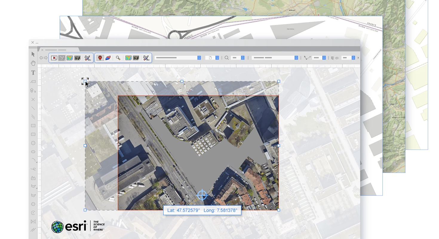
The Survey Point Tool
Part of the GIS toolset, the Survey Point tool ensures precise alignment with real-world coordinates. Input values in either latitude/longitude or easting/northing formats, and define secondary coordinates or project elevation to establish the project datum for seamless IFC exports.
This feature enhances collaboration by aligning the Survey Point with the Internal Origin or existing grid intersections. Notifications alert you if the placement is too far from the Internal Origin, helping maintain project performance.
Customization options allow you to adjust 2D and 3D graphics for survey and reference points through the Preferences menu. Updates to Survey Points are straightforward — unlock them via the Object Info palette to modify coordinates, alignment, or visual properties instantly.
Learn more about the award-winning software for landscape designers
Share this post on:
Related Articles