Design Smarter: The Power of Integrated 2D and 3D Tools in Vectorworks Landmark
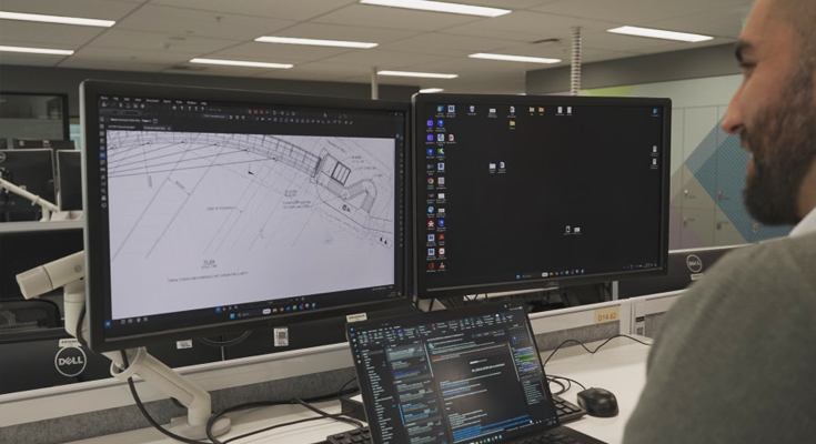
Switching between separate tools for drafting, modeling, and data management can lead to design inconsistencies and wasted time. Vectorworks Landmark combines these functions in a single, unified platform. Updates to 2D drawings and 3D models stay synchronized across views, minimizing manual corrections and preserving accuracy throughout your workflow.
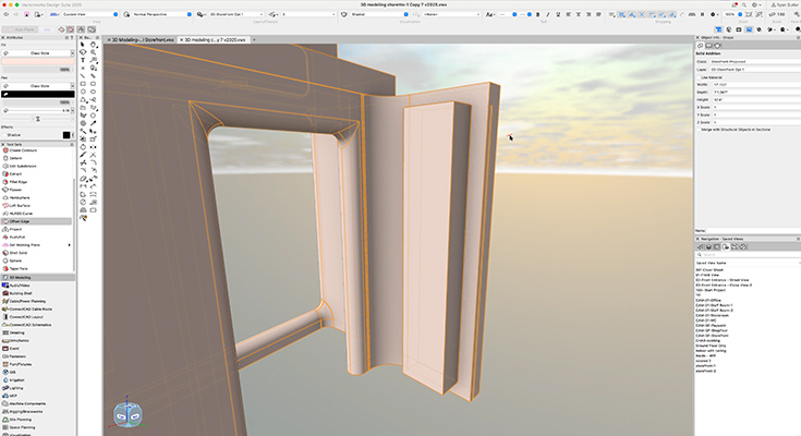
A Hybrid 2D/3D Design Environment
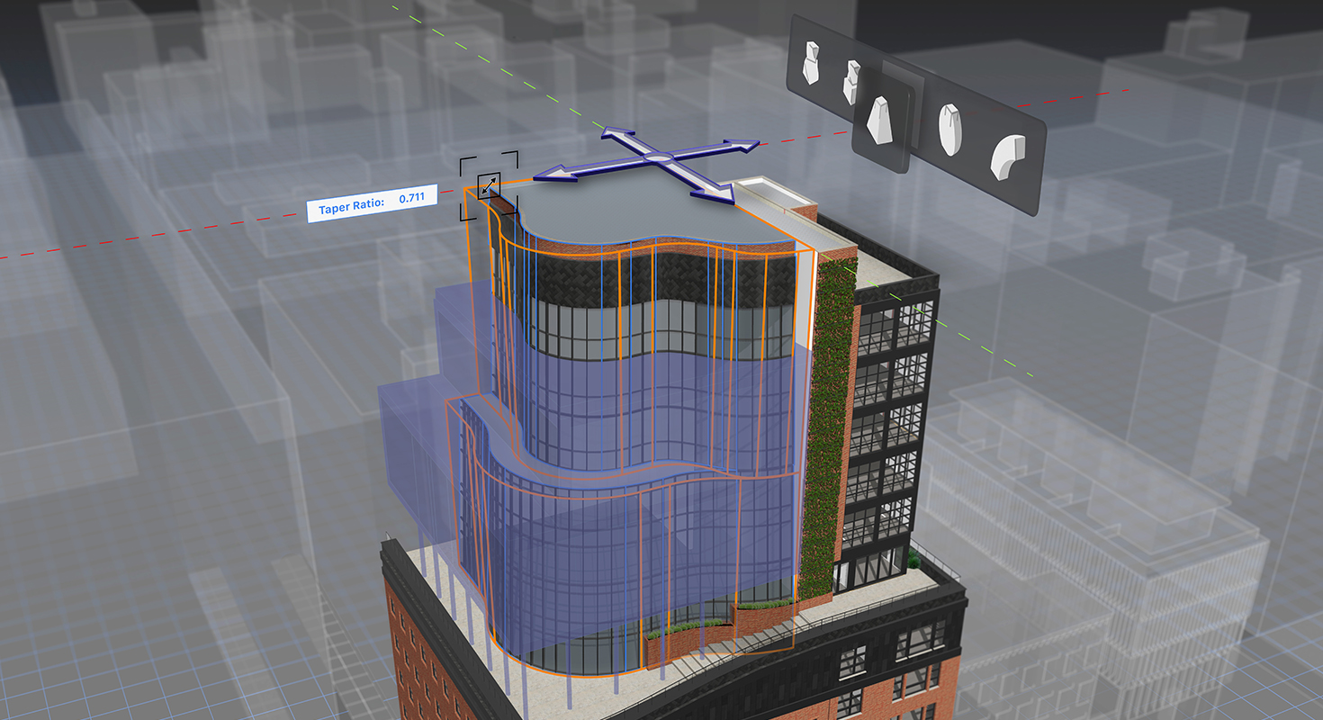
Vectorworks Landmark blends 2D drafting and 3D modeling into a hybrid workspace. Adjustments to hardscape boundaries or site elevations instantly update connected design elements, while still allowing for detailed refinements.
2D/3D hybrid objects link visual elements with embedded data. For example, increasing the height of a retaining wall can automatically trigger grading adjustments—provided the proper site modifiers are used.
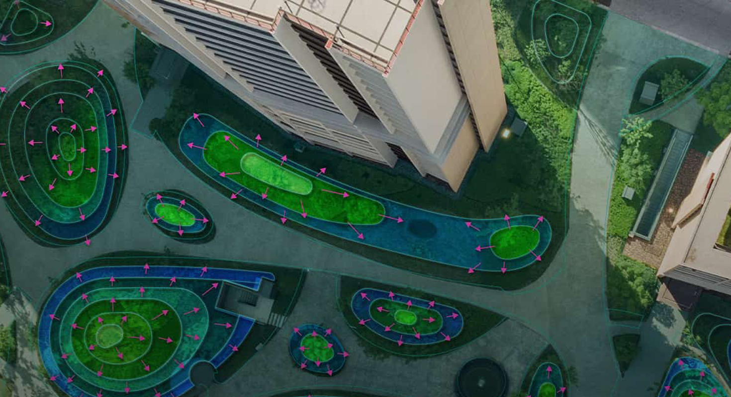
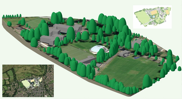
Real-Time Site and Terrain Modeling
Grading and terrain modeling shape site topography by defining elevation changes and surface conditions. Landmark’s grading objects and site modifiers let you modify terrain in real time, reducing the need for manual contour edits.
Accurate terrain models help simulate slopes, drainage, and topographic refinements, allowing you to balance site grading with drainage, accessibility, and structural requirements.
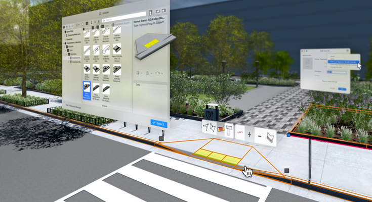
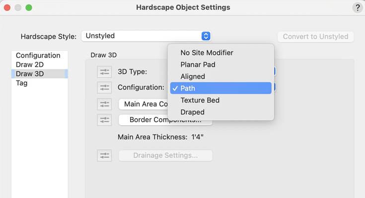
Hardscape and Landscape Area Tools
Terrain often determines whether you use grade-responsive softscapes or slope-adjusting hardscapes. Landmark offers tools for patios, paths, and retaining walls that adapt to site conditions.
You can set design parameters like slope adjustment and material transitions for each element. Landscape areasinclude real-world data, such as:
-
Plant distribution by percentage or rate
-
Mono- or multi-species planting
-
Mulch depth and soil composition
This supports automated reports for material takeoffs, cost estimates, and project specifications.
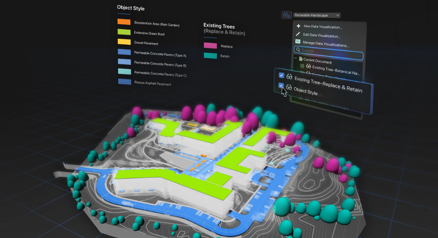
Integrated Data Management
Landmark links worksheets directly to the model, reducing manual data entry. Changes in worksheets—like plant schedules or irrigation specs—sync automatically with drawings.
These worksheets also support sustainability tracking, documenting water use, material sourcing, and environmental impact for compliance and analysis.
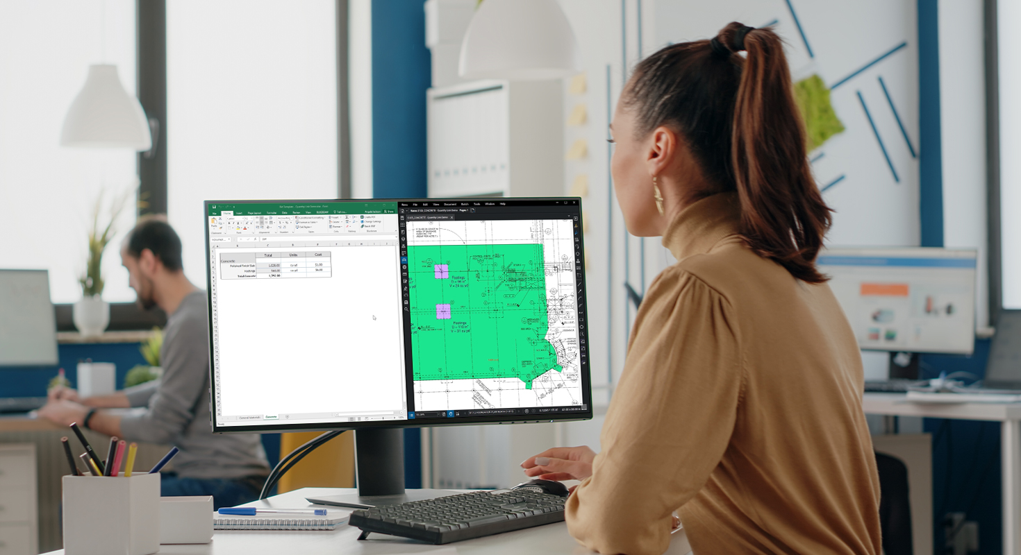
Automated Calculations for Materials
Manual quantity tracking is prone to errors—especially on large sites. Vectorworks Landmark calculates materials automatically as designs evolve.
-
Smart Objects (hardscapes, site models, landscape areas) recalculate volume, surface area, and excavation needs when edited.
-
Worksheets update in real time based on input like pavement thickness or plant density.
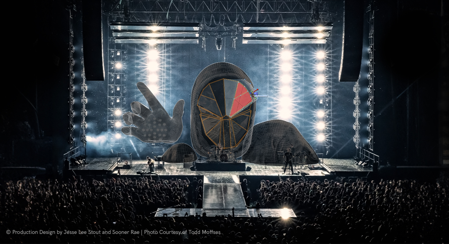
Built-In Photorealistic Rendering with Renderworks
Design visualization is essential for communication. Renderworks, Vectorworks’ integrated rendering suite, offers physically based and artistic rendering styles.
With Renderworks, you can:
-
Simulate seasonal and daylight changes
-
Render reflective and transparent materials
-
Apply artistic styles like sketch or watercolor
Because it’s built into Landmark, there’s no need for third-party software—making presentations, approvals, and design reviews more efficient.
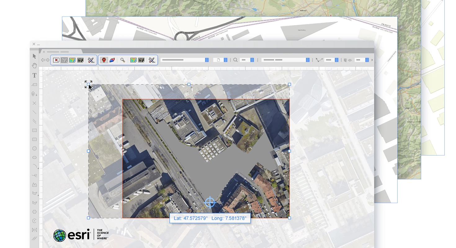
GIS and Geospatial Data Integration
Accuracy matters in landscape architecture. Landmark incorporates GIS data for environmental planning, analysis, and compliance.
Use GIS to:
-
Plan stormwater strategies
-
Analyze environmental impact
-
Collaborate with planners and regulatory agencies
This provides essential context, keeping your designs compliant and site-specific.
Broad Software Compatibility
Collaboration depends on smooth data exchange. Landmark supports open standards and works with:
-
BIM and CAD (IFC, DWG, DXF, RVT)
-
3D modeling tools (SketchUp, Rhino)
-
GIS formats (Shapefiles, GeoTIFF)
This compatibility ensures seamless team collaboration—no data loss or time-consuming conversions.
Everything Connected, Everything Current
Vectorworks Landmark unifies 2D drafting, 3D modeling, GIS data, and automated reporting. Linked worksheets, live model updates, and file compatibility keep everything in sync.
From adjusting a terrain model to generating takeoffs or rendering visualizations, Landmark reduces manual work and design delays. Stay accurate, work faster, and deliver better results with one integrated landscape design solution.
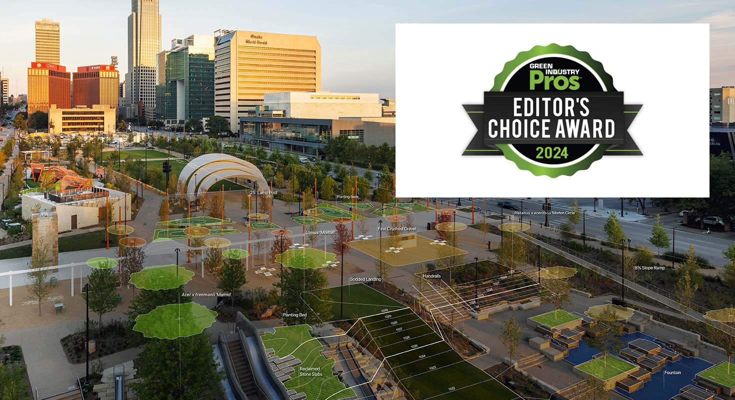
Learn more about the award-winning software for landscape designers
Share this post on:
Related Articles