Enhance Your Landscape Design Workflow with Georeferencing
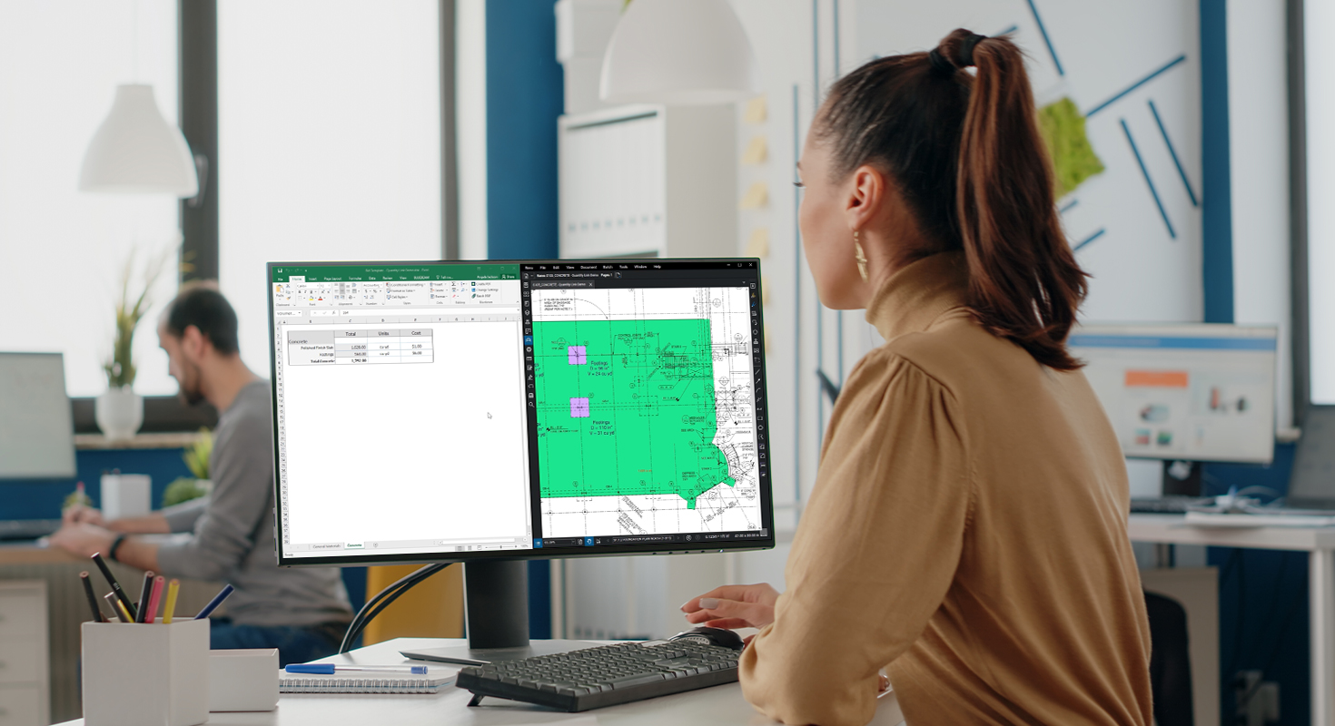
Vectorworks Landmark allows for the direct import of tree surveys from arborists, ensuring a cohesive site vision for you and your collaborators. These surveys typically come in the form of spreadsheets or geographic information system (GIS) data.
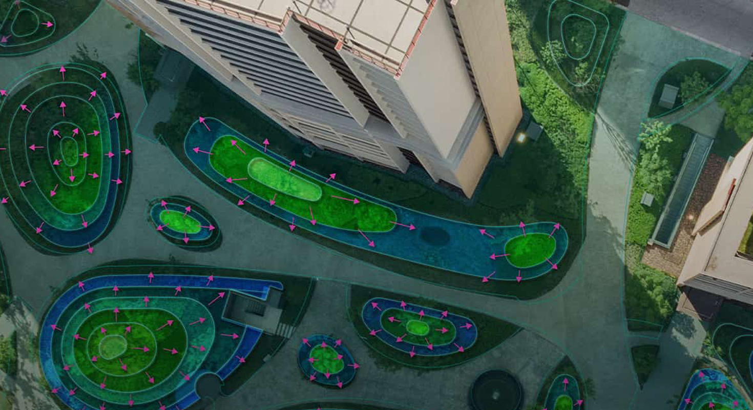
With Vectorworks Landmark, transferring this data into your site model—whether in 2D or 3D—is a breeze, while maintaining individual tree data and geometry.
Exploring the Potential of GIS
In essence, GIS provides global data, offering imagery, shapes, and information that are accurately scaled and located for anyone considering changes to a site or region.
Vectorworks’ GIS toolset includes features such as:
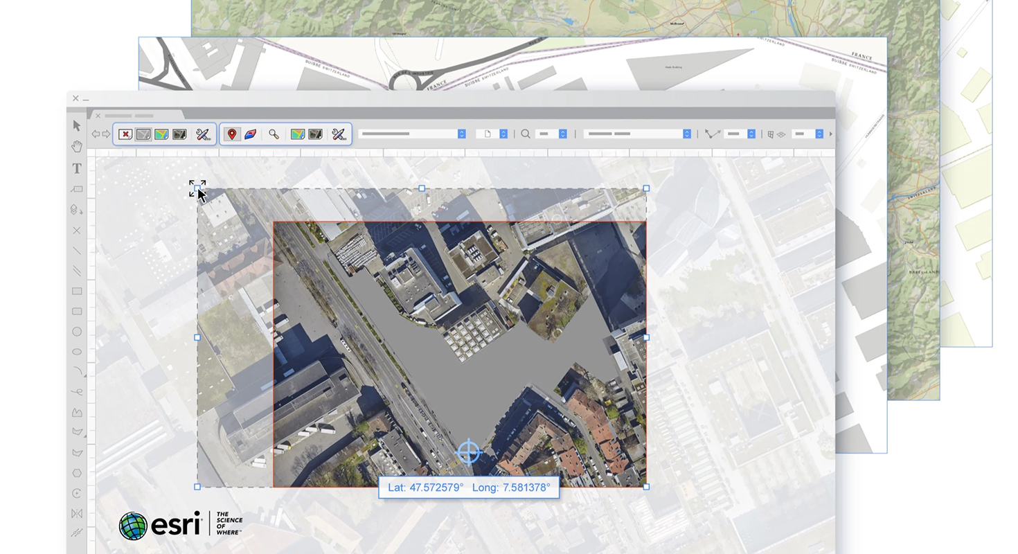
Geolocate: Aligns your file’s internal origin with the site’s physical location, allowing you to work with geographically-aware data.
Geoimage: Provides current visual context by securing imagery and mapping.
For small site design projects, integrating GIS data helps to:
- Visualize property boundaries.
- Reference municipal utility resources.
For larger projects, GIS data integration allows you to:
- Incorporate multiple image files and shapefiles.
- Create maps from data.
- Use database information to add symbols and notes to your drawing.
- Color-code data for easier visualization
Precision Georeferencing with Esri
One of the best ways to utilize georeferencing in your designs is through the GIS toolset and its integration with Esri’s ArcGIS online services.
With ArcGIS and WMS servers, you can quickly incorporate street maps, satellite images, and other visuals into your design. A paid ArcGIS online service plan offers even more maps directly in Vectorworks.
These features provide a comprehensive understanding of your design site, aligning your drawings with both the client’s vision and the natural landscape.
Moreover, Esri’s ArcGIS toolset enhances your design presentations by allowing you to apply geo-located imagery to your design layer or digital terrain model, making it easier to present designs to clients and collaborators.
Integrating GIS in Your BIM for Landscape Workflows
Collaboration is another significant advantage of using GIS in your designs. Given that most site files from surveys or civil engineers are georeferenced, Vectorworks Landmark supports the accurate import and export of these files, maintaining georeferencing integrity.
Discover More About GIS in Vectorworks Landmark
For those eager to dive deeper into using GIS, georeferencing, and BIM in your designs, check out Vectorworks Landmark now.
Share this post on:
Related Articles