Site Analysis: An Introduction
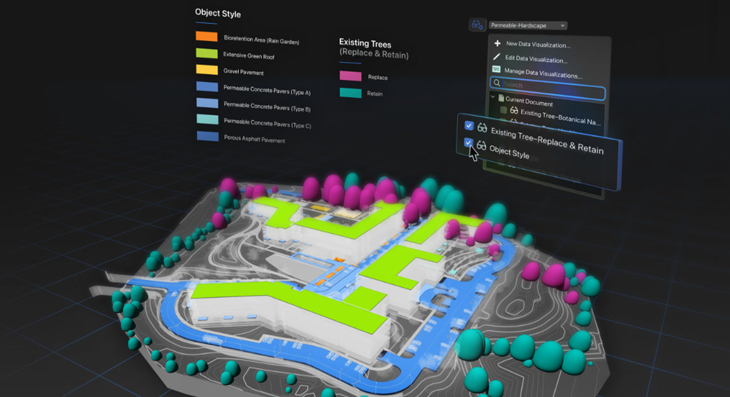
Site analysis is an essential first step in architecture, landscape design, and urban planning. It involves assessing a site’s characteristics before beginning a design project.
Professionals gather data about the site’s physical, environmental, and cultural aspects. This information informs design decisions that enhance functionality, aesthetics, and compliance with local regulations while addressing environmental and community considerations.
Read on to explore the fundamentals of site analysis and its importance in architecture and landscape design projects.
Why Site Analysis Matters
Site analysis is the foundation of successful design projects. Here’s why it’s crucial:
-
Informed Decision-Making: Understanding topography, climate, and surroundings supports better decisions about layout, materials, and sustainability.
-
Environmental Considerations: Identifying environmental constraints such as flood zones, erosion risks, or protected ecosystems ensures responsible designs. Biodiversity Net Gain (BNG) assessments help document and enhance site biodiversity.
-
Legal and Regulatory Compliance: Site analysis helps ensure designs meet zoning laws, building codes, and other regulations.
-
Community Integration: Considering the site’s social and cultural context helps designs blend with the community. Public input may be gathered for better local alignment.
-
Cost-Effectiveness: Identifying potential challenges early helps manage costs by allowing for strategic planning and avoiding costly surprises.
Key Elements of Site Analysis
The scope of site analysis depends on project goals. Key areas to assess include:
-
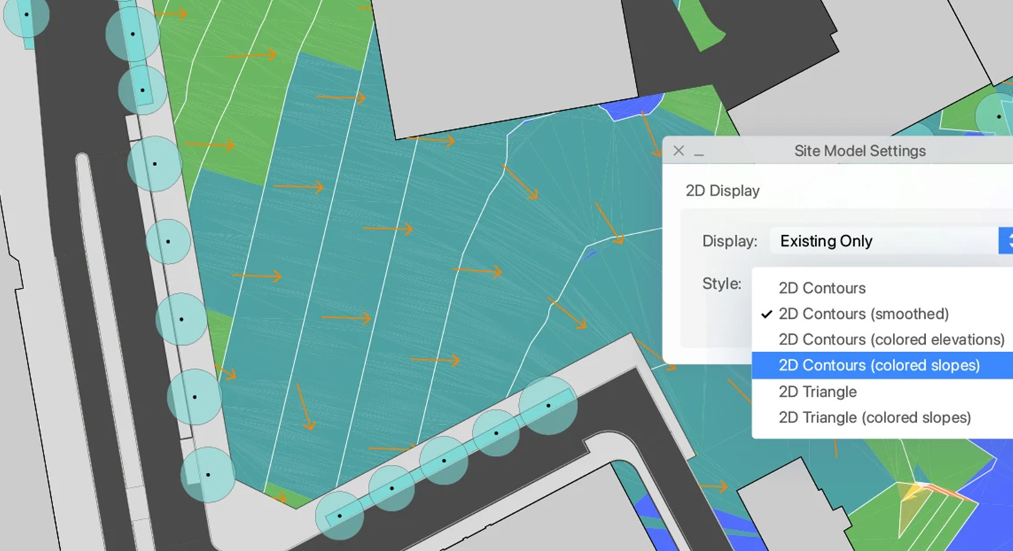
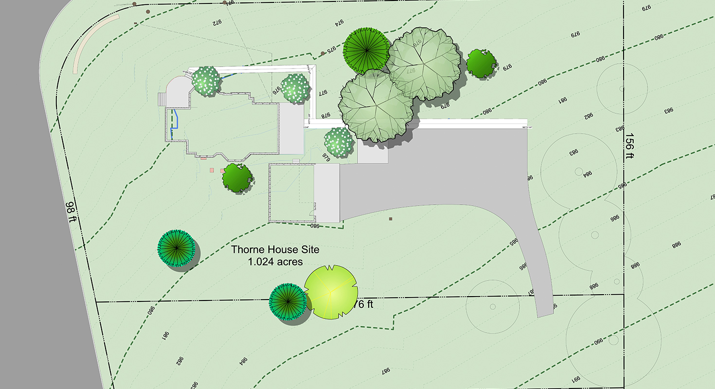
Topography: Land slope, elevation, and features influence structure placement and design stability.
-
Climate: Local weather patterns, such as wind, rainfall, and sun exposure, guide building orientation and material choices.
-
Soil and Geology: Soil type affects foundation design and drainage.
-
Hydrology: Understanding water flow and drainage helps prevent flooding and manage stormwater.
-
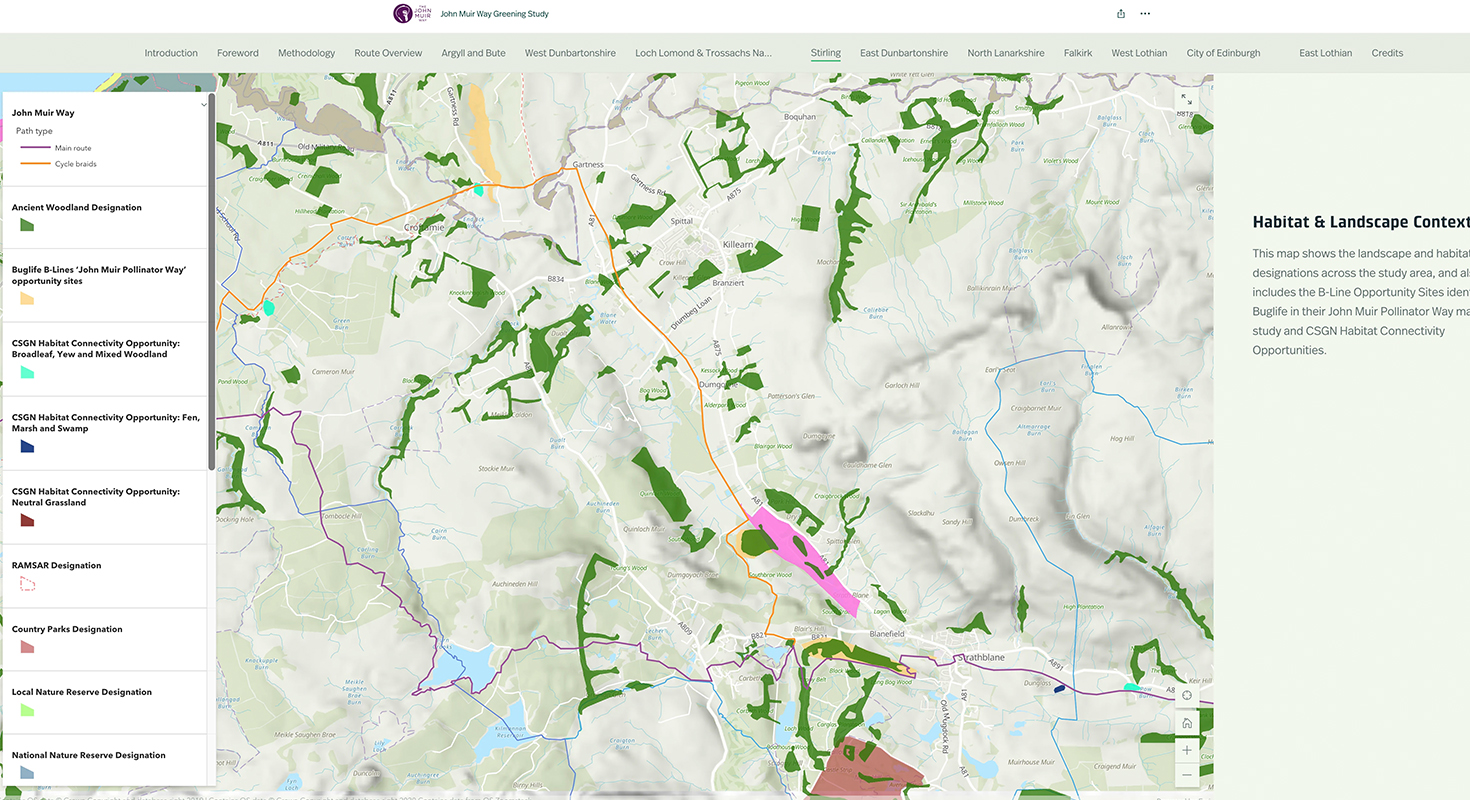
Vegetation and Wildlife: Identifying plant species and habitats supports eco-friendly designs.
-
Accessibility and Circulation: Assessing transportation links, roads, and paths ensures smooth access and site functionality.
-
Surrounding Context: Considering nearby buildings, infrastructure, and landmarks helps the project integrate into its environment.
How to Conduct Site Analysis
Follow these steps for a thorough site analysis:
-
Site Visit: Walk the site to observe features, vegetation, and structures. Take notes, photos, and measurements.
-
Data Collection: Gather additional information through surveys, soil tests, and consultations with experts.
-
Zoning and Legal Research: Review zoning laws, building codes, and contextual data to identify constraints and opportunities.
-
Climate Analysis: Use climate data tools to evaluate sunlight, wind, rainfall, and temperature patterns.
-
Data Synthesis: Map site opportunities and constraints. Use design software to create a base plan and incorporate findings.
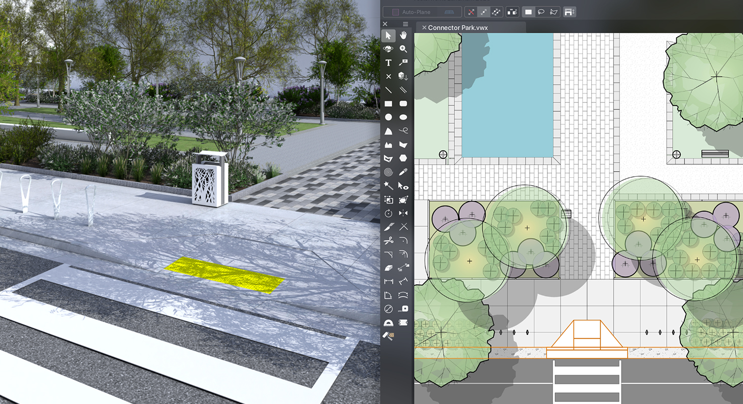
Design Software’s Role in Site Analysis
Modern software tools streamline site analysis by aiding data collection, visualization, and interpretation.
-
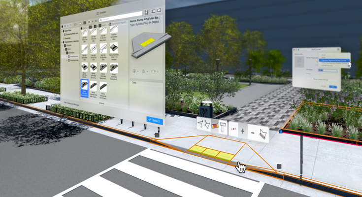
Data Visualization and Mapping: Programs like Vectorworks Landmark map topographical, hydrological, and sun exposure data.
-
Environmental Simulations: Environmental simulations show how design choices interact with the site. For example, sun/shade analysis helps optimize lighting and temperature regulation.
-
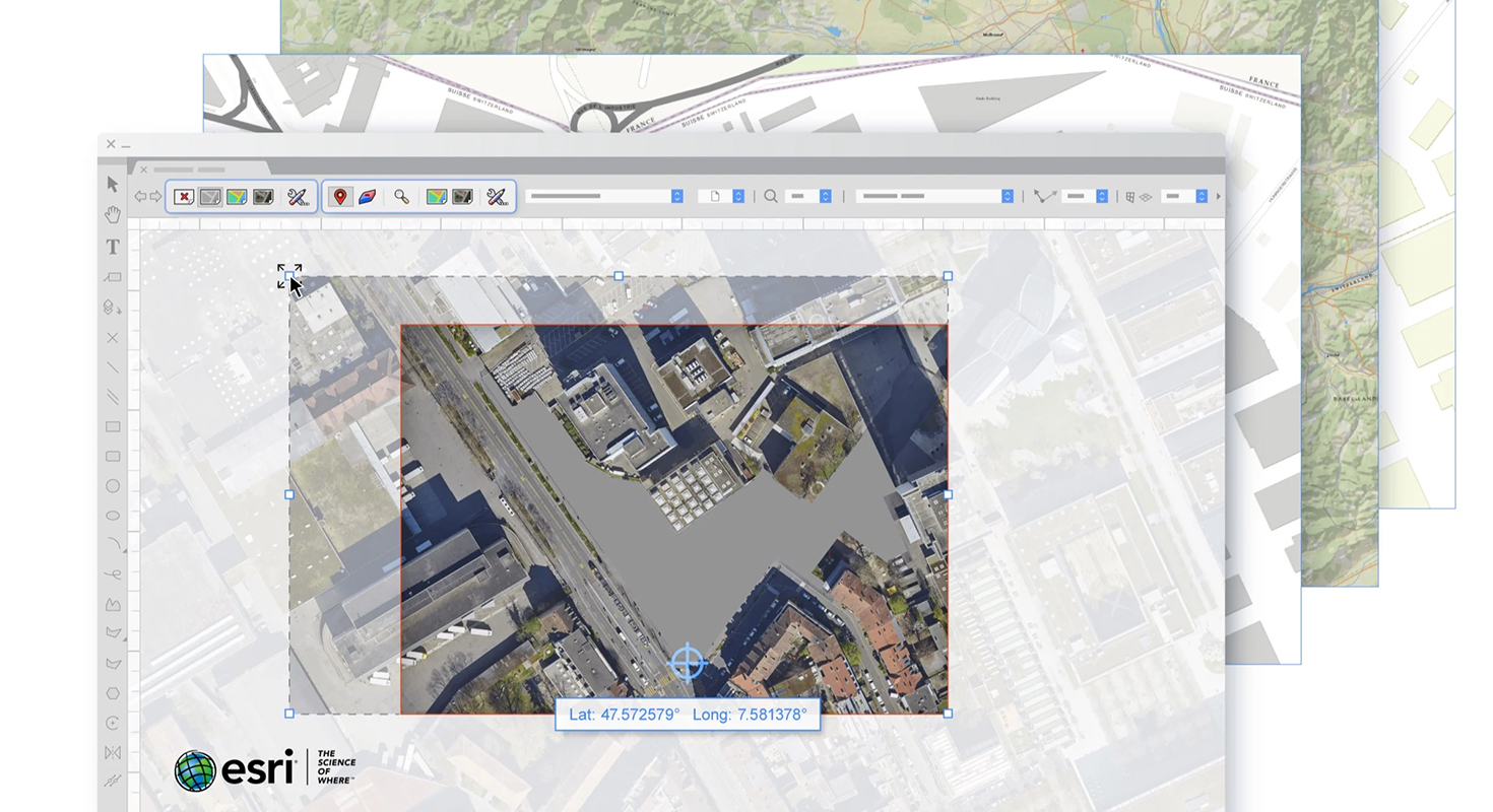
Geospatial Data Integration: GIS data can be imported for precise site details, including elevation and vegetation cover.
-
Collaboration and Coordination: Cloud-based tools enable multidisciplinary teams to access and share project data in real time.
-
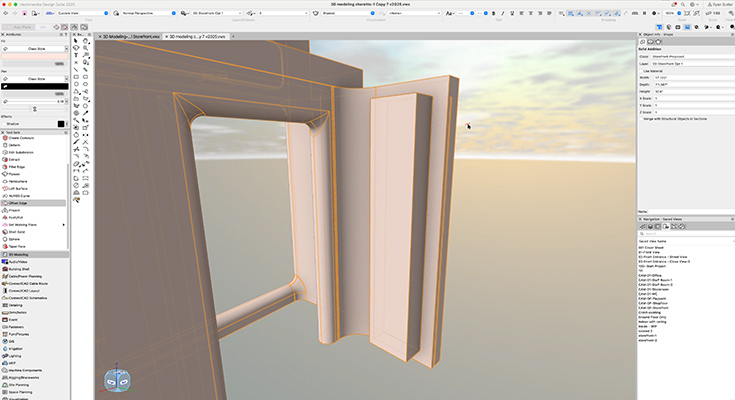
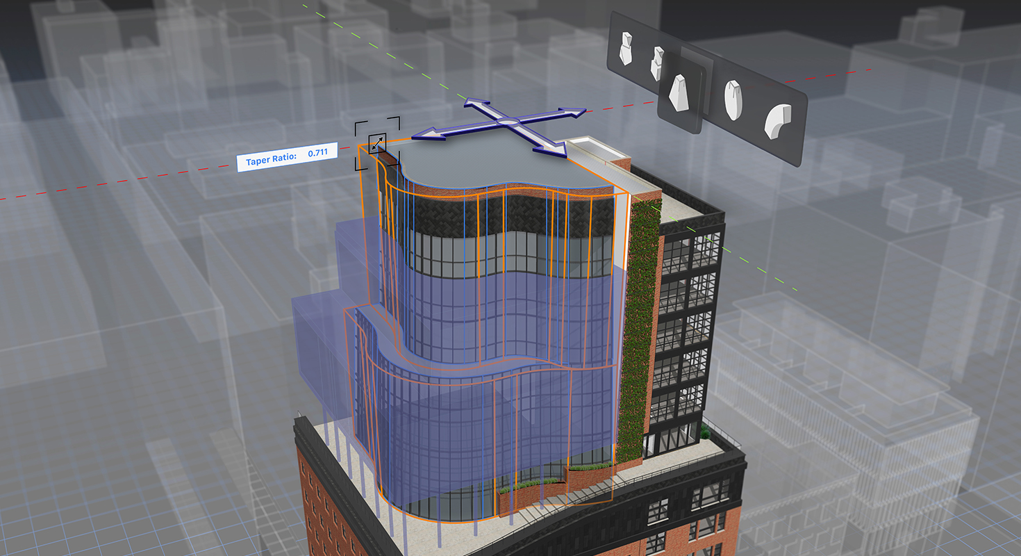
3D Modeling and Visualization: Software allows for detailed 3D models, helping communicate design concepts to clients and collaborators.
-
Efficiency and Precision: Automating tasks like grading, cost estimation, and water flow calculations increases efficiency and precision, enabling a focus on creative design solutions.
Vectorworks Landmark allows you to complete site analysis quicker, more efficiently and with an absolutely superb precision.
Learn more about the award-winning software for landscape designers.
Share this post on:
Related Articles


